Jacques Le Moyne de Morgues “Brevis narratio eorum quae in Florida Americae provincia Gallis acciderunt”

Jacques Le Moyne de Morgues “Brevis narratio eorum quae in Florida Americae provincia Gallis acciderunt”

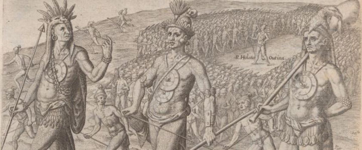
De Morgues’ book gives a detailed account of the tragic fate of the French colony in Florida who were killed by the Spanish in the 16th century. Jacques le Moyne de Morgues was a French artist and member of Jean Ribault’s expedition to the New World. His depictions of Native American life and culture, colonial life, and plants are of extraordinary historical importance.

Lemoyne de Morgues, Jacques. Brevis narratio eorum quae in Florida Americae provincia Gallis acciderunt (Brief Narration of Those Things Which Befell the French in the Province of Florida in America.) Published by Theodor de Bry, 1519.

Read a selected transcript with color images from the National Humanities Center. 

View the book on the Internet Archive.

De Orbe Novo: The Eight Decades of Peter Martyr D’ Anghera

De Orbe Novo: The Eight Decades of Peter Martyr D’ Anghera

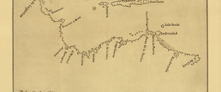
Peter Martyr D’Anghera was a priest in the Roman Catholic Church and chronicler for Spain. As a chronicler, Peter Martyr was tasked with recording Spain’s endeavors in the New World. In the “Seventh Decade” of his De Orbe Novo, Peter Martyr D’Anghera recounts the experience of Francisco of Chicorana, a Native American captured by Lucas Vasquez De Ayllon and brought to Santo Domingo where he met Peter Martyr. Archeologist David G. Anderson argues the account offers “considerable value, as it presents the first detailed description of Southeastern chiefdom societies…”

De Orbe Novo: The Eight Decades of Peter Martyr D’Anghera. Translated from Latin with Notes and Information by Francis Augustus MacNutt. Volume Two. New York and London: G.P. Putnam’s Sons, 1912.

View the full book on the Internet Archive.

Diego Ribero 1529 World Map of Spanish Global Conquests

Diego Ribero 1529 World Map of Spanish Global Conquests

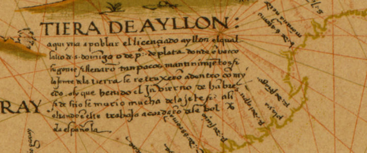
Diego Ribero created his world map in 1529 to celebrate Spanish global conquests. Ribero was a Portuguese artist who created this map to prove that the Moluccas islands in the Indonesian archipelago belonged to the Spanish in accordance with the 1494 Treaty of Tordesillas. The De Orbe Novo map used art and geography to give the Spanish an edge in the spice trade.  It took hundreds of years to disprove Ribero’s work.

Ribero, Diego. 1529 World Map also called the Propaganda Map. London : W. Griggs,[1887?]. from the Library of Congress, Geography and Map Division.
View the map from the Library of Congress.


Spanish Missions of Georgia Map

Spanish Missions of Georgia Map

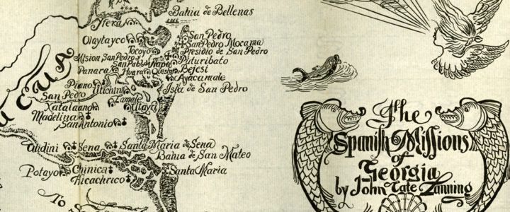
The map of Spanish missions in Georgia was created in 1935 to show the locations of Georgia’s Spanish missions during the Spanish colonial period. Current research on the locations of Spanish missions may refute some of the work done by historian John Tate in developing this map.

Map of Spanish Missions in Georgia illustrated by Willis Physioc (1935) in Landing, John Tate, The Spanish missions of Georgia. Georgia Historical Society Rare Book Collection.

Etowah Papers

Etowah Papers

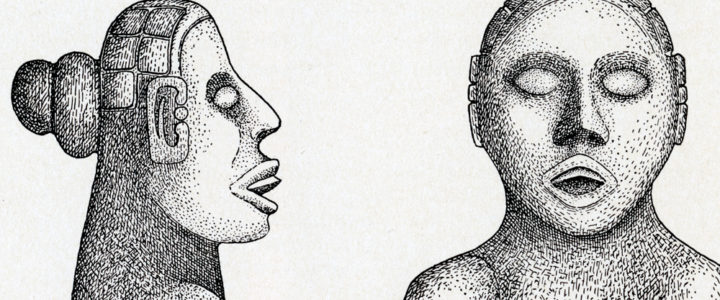
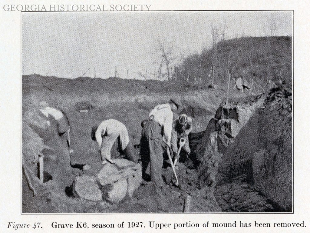
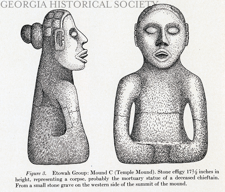
Published in 1932, The Etowah Papers is a collection of articles edited by famous archaeologist Warren King Moorehead. This primary source set provides access to the figures in the first article of the book written by Moorehead. The figures provide visual representations of the excavation site, mounds, artifacts discovered, and the process of excavation. The artifacts reveal the complex nature of the Mississippian culture and give some insight into what the mounds were used for.

Moorehead, Warren King. “Exploration of the Etowah site in Georgia.” In Etowah Papers: Exploration of the Etowah site in Georgia. New Haven: Published for Phillips Academy by the Yale University Press, 1932.

Learn more about the Etowah Mounds from Georgia State Parks.