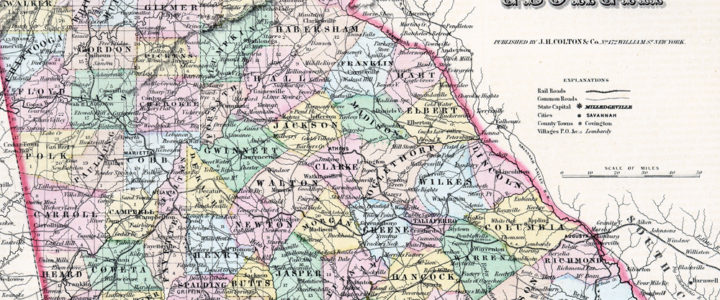
Map of Georgia, 1855

Map of Georgia, 1855

This map of Georgia was published in Colton’s Atlas of the World in 1856. The map shows Georgia’s westward expansion in the years following the forced removal of the Creek and Cherokee Indians from Georgia to reservations in modern-day Oklahoma. The map also shows the state’s railroads and common roads.


Map of Georgia, 1855. From the Georgia Historical Society Map Collection, MS 1361-MP 083.

View the description of this item in the GHS Library and Archives catalog.

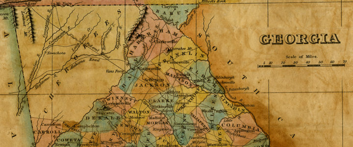
Map of Georgia, 1829

Map of Georgia, 1829

Reverand Adiel Sherwood included this map in the 1829 edition of his book A Gazetteer of the State of Georgia. The map gives a rare view of Georgia in the brief period of time between 1825, when the Cherokee Nation moved its capital to New Echota, Georgia, and 1838, when the U.S. Army forcibly removed the Cherokee to land in modern-day Oklahoma (known today as the Trail of Tears).

Map of Georgia, 1829. From the Georgia Historical Society Map Collection, MS 1361-MP 079.

View the description of this item in the GHS Library and Archives catalog.
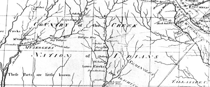
Map of Georgia, 1795

Map of Georgia, 1795

This map was created for Mathew Carey’s American edition of Gutherie’s Georgraphy. The complete atlas included 19 total maps and was first printed in 1796. The map provides an excellent snapshot of Georgia after the American Revolution and the vast western territories which spanned most of modern-day Alabama and Mississippi.


Georgia from the Latest Authorities, 1795. From the Georgia Historical Society Map Collection, MS 1361-MP 063.

View the description of this item in the GHS Library and Archives catalog.
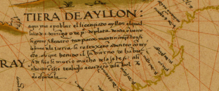
Diego Ribero 1529 World Map of Spanish Global Conquests

Diego Ribero 1529 World Map of Spanish Global Conquests

Diego Ribero created his world map in 1529 to celebrate Spanish global conquests. Ribero was a Portuguese artist who created this map to prove that the Moluccas islands in the Indonesian archipelago belonged to the Spanish in accordance with the 1494 Treaty of Tordesillas. The De Orbe Novo map used art and geography to give the Spanish an edge in the spice trade.  It took hundreds of years to disprove Ribero’s work.

Ribero, Diego. 1529 World Map also called the Propaganda Map. London : W. Griggs,[1887?]. from the Library of Congress, Geography and Map Division.
View the map from the Library of Congress.